Stables above bridleway 119
Introduction
The photograph on this page of Stables above bridleway 119 by Robin Webster as part of the Geograph project.
The Geograph project started in 2005 with the aim of publishing, organising and preserving representative images for every square kilometre of Great Britain, Ireland and the Isle of Man.

There are currently over 7.5m images from over 14,400 individuals and you can help contribute to the project by visiting https://www.geograph.org.uk
Stables above bridleway 119
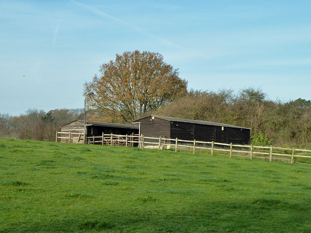
Image: © Robin Webster Taken: 24 Nov 2010
A short part of the bridleway is used for vehicular access to these stables from Chipstead Lane.
Images are licensed for reuse under creativecommons.org/licenses/by-sa/2.0
Image Location
Latitude
51.281064
Longitude
-0.203103