Railway Brierley Hill
Introduction
The photograph on this page of Railway Brierley Hill by Stephen Rogerson as part of the Geograph project.
The Geograph project started in 2005 with the aim of publishing, organising and preserving representative images for every square kilometre of Great Britain, Ireland and the Isle of Man.

There are currently over 7.5m images from over 14,400 individuals and you can help contribute to the project by visiting https://www.geograph.org.uk
Railway Brierley Hill
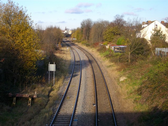
Image: © Stephen Rogerson Taken: 24 Nov 2010
Not used for passenger trains runs from Stourbridge up to Dudley and further on.
Images are licensed for reuse under creativecommons.org/licenses/by-sa/2.0
Image Location
Latitude
52.481752
Longitude
-2.129533