Marshland Sewer
Introduction
The photograph on this page of Marshland Sewer by David Anstiss as part of the Geograph project.
The Geograph project started in 2005 with the aim of publishing, organising and preserving representative images for every square kilometre of Great Britain, Ireland and the Isle of Man.

There are currently over 7.5m images from over 14,400 individuals and you can help contribute to the project by visiting https://www.geograph.org.uk
Marshland Sewer
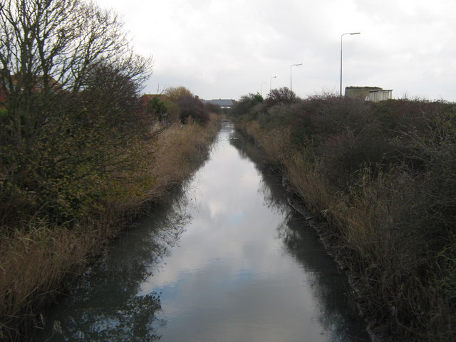
Image: © David Anstiss Taken: 21 Nov 2010
This named drainage channel leads from Chapel Bridge in the Romney Marshes, towards Dymchurch and then into the sea. This section of the channel leads along Dymchurch Road (unseen behind the bushes on the right). Martello Tower No.24 is just seen on the right as well.
Images are licensed for reuse under creativecommons.org/licenses/by-sa/2.0
Image Location


Leaflet Map data © OpenStreetMap
Latitude
51.021676
Longitude
0.991824