Lower Forest
Introduction
The photograph on this page of Lower Forest by Derek Harper as part of the Geograph project.
The Geograph project started in 2005 with the aim of publishing, organising and preserving representative images for every square kilometre of Great Britain, Ireland and the Isle of Man.

There are currently over 7.5m images from over 14,400 individuals and you can help contribute to the project by visiting https://www.geograph.org.uk
Lower Forest
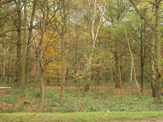
Image: © Derek Harper Taken: 17 Nov 2010
On Epping Plain; dense deciduous woodland seen across the B181 near Kings Wood Park.
Images are licensed for reuse under creativecommons.org/licenses/by-sa/2.0
Image Location
Latitude
51.706513
Longitude
0.124599