The Plain, Epping
Introduction
The photograph on this page of The Plain, Epping by Derek Harper as part of the Geograph project.
The Geograph project started in 2005 with the aim of publishing, organising and preserving representative images for every square kilometre of Great Britain, Ireland and the Isle of Man.

There are currently over 7.5m images from over 14,400 individuals and you can help contribute to the project by visiting https://www.geograph.org.uk
The Plain, Epping
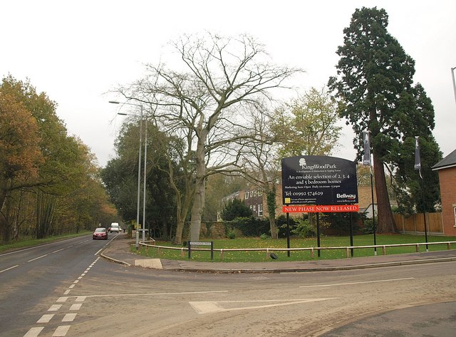
Image: © Derek Harper Taken: 17 Nov 2010
The junction of the B181 with Kingswood Park, a new housing development partly built on the site of redundant buildings associated with nearby St Margaret's Hospital. On the left, the B road heads through Lower Forest towards North Weald Bassett.
Images are licensed for reuse under creativecommons.org/licenses/by-sa/2.0
Image Location
Latitude
51.706513
Longitude
0.124599