High Road, Loughton
Introduction
The photograph on this page of High Road, Loughton by Derek Harper as part of the Geograph project.
The Geograph project started in 2005 with the aim of publishing, organising and preserving representative images for every square kilometre of Great Britain, Ireland and the Isle of Man.

There are currently over 7.5m images from over 14,400 individuals and you can help contribute to the project by visiting https://www.geograph.org.uk
High Road, Loughton
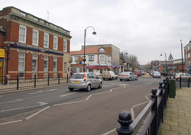
Image: © Derek Harper Taken: 17 Nov 2010
The crossroads (a mini-roundabout) with Ollard's Grove (left) and Old Station Road (right). On the left is a NatWest bank. Loughton's main shopping centre continues up the High Road on the far side of the junction.
Images are licensed for reuse under creativecommons.org/licenses/by-sa/2.0
Image Location
Latitude
51.643977
Longitude
0.050849