Flats at Mitcham
Introduction
The photograph on this page of Flats at Mitcham by Derek Harper as part of the Geograph project.
The Geograph project started in 2005 with the aim of publishing, organising and preserving representative images for every square kilometre of Great Britain, Ireland and the Isle of Man.

There are currently over 7.5m images from over 14,400 individuals and you can help contribute to the project by visiting https://www.geograph.org.uk
Flats at Mitcham
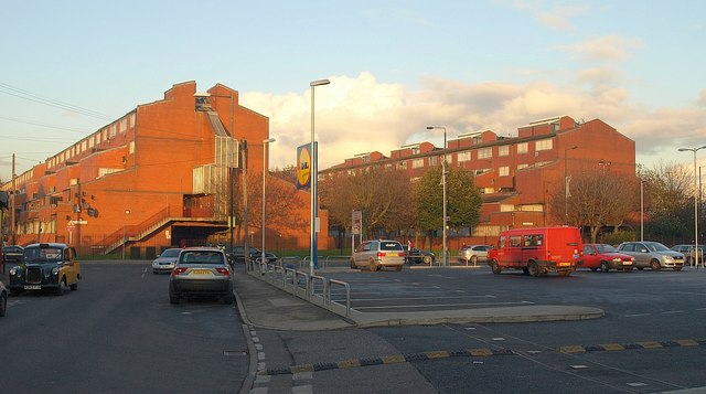
Image: © Derek Harper Taken: 16 Nov 2010
The red brick of Gladstone House (left) and Fountain House glowing in afternoon sunshine, seen from Love Lane. There is a smaller third block, Chart House, off to the left.
Images are licensed for reuse under creativecommons.org/licenses/by-sa/2.0
Image Location
Latitude
51.405681
Longitude
-0.166878