Pond, Epsom Common
Introduction
The photograph on this page of Pond, Epsom Common by Robin Webster as part of the Geograph project.
The Geograph project started in 2005 with the aim of publishing, organising and preserving representative images for every square kilometre of Great Britain, Ireland and the Isle of Man.

There are currently over 7.5m images from over 14,400 individuals and you can help contribute to the project by visiting https://www.geograph.org.uk
Pond, Epsom Common
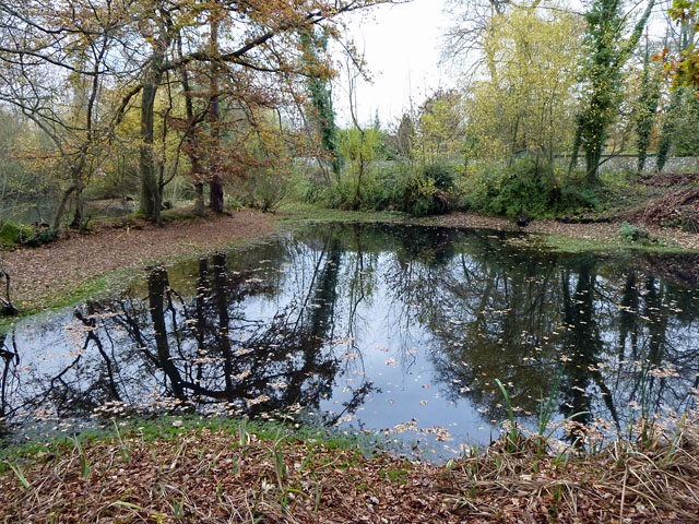
Image: © Robin Webster Taken: 23 Nov 2010
Called by a local resident the "Baron's Pond", this name has never appeared on maps, which label it a fish pond. Modern maps show one pond of simple shape, but Victorian maps more accurately depict the current state, which is of quite complex shape. Shown is the southern part. Over the bank on the left is the northern part, currently partly a sallow swamp. The two are interconnected around the end of the bank, more obviously when the water level is higher. The local resident remarked that the level used to be higher.
Images are licensed for reuse under creativecommons.org/licenses/by-sa/2.0
Image Location
Latitude
51.318081
Longitude
-0.27872