Browning Close, Newport
Introduction
The photograph on this page of Browning Close, Newport by Jaggery as part of the Geograph project.
The Geograph project started in 2005 with the aim of publishing, organising and preserving representative images for every square kilometre of Great Britain, Ireland and the Isle of Man.

There are currently over 7.5m images from over 14,400 individuals and you can help contribute to the project by visiting https://www.geograph.org.uk
Browning Close, Newport
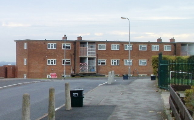
Image: © Jaggery Taken: 22 Nov 2010
Located on the corner of Byron Road and Rupert Brooke Drive, Browning Close has one long 3-storey building, containing 18 flats.
Images are licensed for reuse under creativecommons.org/licenses/by-sa/2.0
Image Location
Latitude
51.576562
Longitude
-3.01586