View of Stowting
Introduction
The photograph on this page of View of Stowting by David Anstiss as part of the Geograph project.
The Geograph project started in 2005 with the aim of publishing, organising and preserving representative images for every square kilometre of Great Britain, Ireland and the Isle of Man.

There are currently over 7.5m images from over 14,400 individuals and you can help contribute to the project by visiting https://www.geograph.org.uk
View of Stowting
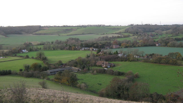
Image: © David Anstiss Taken: 19 Nov 2010
As seen from Image Curteis Farm is seen in the foreground. The North Downs are seen in the background.
Images are licensed for reuse under creativecommons.org/licenses/by-sa/2.0
Image Location


Leaflet Map data © OpenStreetMap
Latitude
51.131821
Longitude
1.038683