Field and field boundary, Dorney Wood
Introduction
The photograph on this page of Field and field boundary, Dorney Wood by Derek Harper as part of the Geograph project.
The Geograph project started in 2005 with the aim of publishing, organising and preserving representative images for every square kilometre of Great Britain, Ireland and the Isle of Man.

There are currently over 7.5m images from over 14,400 individuals and you can help contribute to the project by visiting https://www.geograph.org.uk
Field and field boundary, Dorney Wood
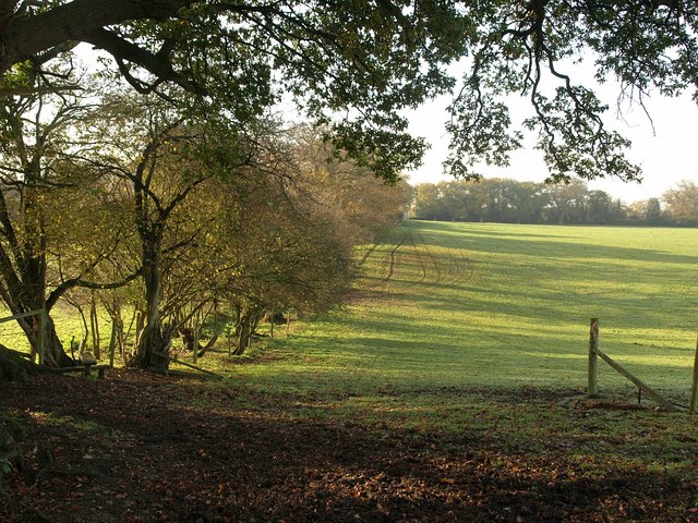
Image: © Derek Harper Taken: 19 Nov 2010
The footpath between Curriers Lane and Dorney Wood Road follows this field edge across the shallow valley mentioned in Image View from beneath an oak tree.
Images are licensed for reuse under creativecommons.org/licenses/by-sa/2.0
Image Location
Latitude
51.555908
Longitude
-0.647691