Lossiemouth Harbour
Introduction
The photograph on this page of Lossiemouth Harbour by Anne Burgess as part of the Geograph project.
The Geograph project started in 2005 with the aim of publishing, organising and preserving representative images for every square kilometre of Great Britain, Ireland and the Isle of Man.

There are currently over 7.5m images from over 14,400 individuals and you can help contribute to the project by visiting https://www.geograph.org.uk
Lossiemouth Harbour
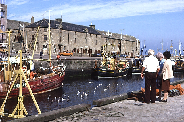
Image: © Anne Burgess Taken: 17 Aug 1987
Fishing boats in the east basin of Lossiemouth Harbour, which has since been redeveloped as a yacht marina.
Images are licensed for reuse under creativecommons.org/licenses/by-sa/2.0
Image Location
Latitude
57.72228
Longitude
-3.280923