View ENE down Lancaster Road
Introduction
The photograph on this page of View ENE down Lancaster Road by Robert Lamb as part of the Geograph project.
The Geograph project started in 2005 with the aim of publishing, organising and preserving representative images for every square kilometre of Great Britain, Ireland and the Isle of Man.

There are currently over 7.5m images from over 14,400 individuals and you can help contribute to the project by visiting https://www.geograph.org.uk
View ENE down Lancaster Road
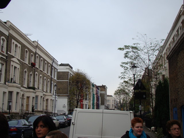
Image: © Robert Lamb Taken: 20 Nov 2010
Looking east-northeast from Portobello Road. Houses of different colours (a recurring theme in Notting Hill) can just be seen behind the tree on the left.
Images are licensed for reuse under creativecommons.org/licenses/by-sa/2.0
Image Location
Latitude
51.517882
Longitude
-0.205905