Watkins Lane, Newport
Introduction
The photograph on this page of Watkins Lane, Newport by Jaggery as part of the Geograph project.
The Geograph project started in 2005 with the aim of publishing, organising and preserving representative images for every square kilometre of Great Britain, Ireland and the Isle of Man.

There are currently over 7.5m images from over 14,400 individuals and you can help contribute to the project by visiting https://www.geograph.org.uk
Watkins Lane, Newport
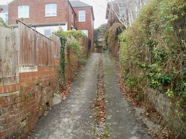
Image: © Jaggery Taken: 22 Nov 2010
Lanes are a feature in this area of late Victorian housing. Watkins Lane climbs towards Ombersley Road, viewed from the corner of Ombersley Lane.
Images are licensed for reuse under creativecommons.org/licenses/by-sa/2.0
Image Location
Latitude
51.58288
Longitude
-3.013115