Ruin in Langley Bottom
Introduction
The photograph on this page of Ruin in Langley Bottom by Robin Webster as part of the Geograph project.
The Geograph project started in 2005 with the aim of publishing, organising and preserving representative images for every square kilometre of Great Britain, Ireland and the Isle of Man.

There are currently over 7.5m images from over 14,400 individuals and you can help contribute to the project by visiting https://www.geograph.org.uk
Ruin in Langley Bottom
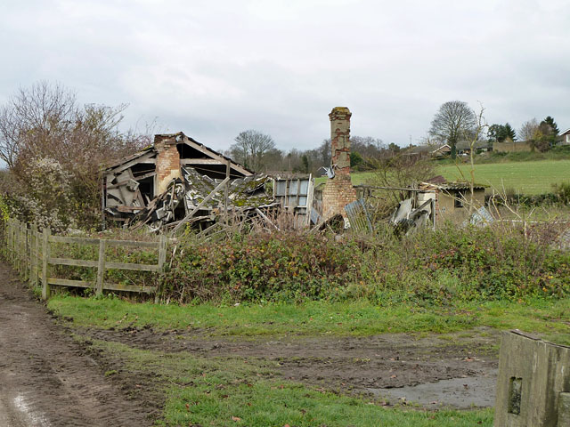
Image: © Robin Webster Taken: 22 Nov 2010
Whatever it was seems to have been of no great age, appearing on maps round about the 1920s. Its position right at the end of a racehorse training course may be significant.
Images are licensed for reuse under creativecommons.org/licenses/by-sa/2.0
Image Location
Latitude
51.304471
Longitude
-0.270478