A corner of Walton Downs
Introduction
The photograph on this page of A corner of Walton Downs by Robin Webster as part of the Geograph project.
The Geograph project started in 2005 with the aim of publishing, organising and preserving representative images for every square kilometre of Great Britain, Ireland and the Isle of Man.

There are currently over 7.5m images from over 14,400 individuals and you can help contribute to the project by visiting https://www.geograph.org.uk
A corner of Walton Downs
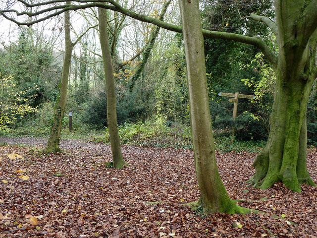
Image: © Robin Webster Taken: 22 Nov 2010
The junction of bridleway 65 from Epsom to Walton and footpath 514 coming in from Tadworth. A marker is on the left for a permissive route to the west.
Images are licensed for reuse under creativecommons.org/licenses/by-sa/2.0
Image Location
Latitude
51.298737
Longitude
-0.247742