Y Bwthyn Bach, Broneirion
Introduction
The photograph on this page of Y Bwthyn Bach, Broneirion by Eileen Warren as part of the Geograph project.
The Geograph project started in 2005 with the aim of publishing, organising and preserving representative images for every square kilometre of Great Britain, Ireland and the Isle of Man.

There are currently over 7.5m images from over 14,400 individuals and you can help contribute to the project by visiting https://www.geograph.org.uk
Y Bwthyn Bach, Broneirion
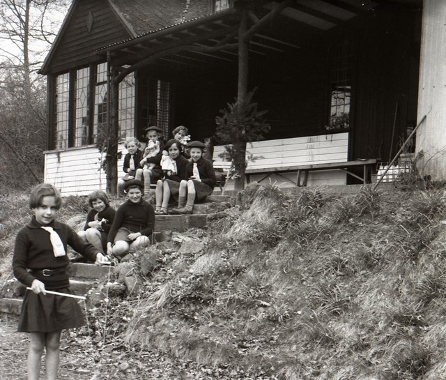
Image: © Eileen Warren Taken: Unknown
A photo taken by my late mother in the mid-1950's. She was a leader with the brownie and guide packs in Nuneaton, Warwickshire, and these are likely to be girls from one of those groups. I can't be more precise with the date, as they visited Broneirion several times. The name of the building comes from a postcard view I also have of it. Thanks to Penny Mayes for confirming the location.
Images are licensed for reuse under creativecommons.org/licenses/by-sa/2.0
Image Location
Latitude
52.487929
Longitude
-3.444248