Mains of Taymouth, Kenmore
Introduction
The photograph on this page of Mains of Taymouth, Kenmore by wfmillar as part of the Geograph project.
The Geograph project started in 2005 with the aim of publishing, organising and preserving representative images for every square kilometre of Great Britain, Ireland and the Isle of Man.

There are currently over 7.5m images from over 14,400 individuals and you can help contribute to the project by visiting https://www.geograph.org.uk
Mains of Taymouth, Kenmore
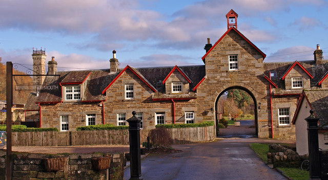
Image: © wfmillar Taken: 19 Nov 2010
Now Self-catering Cottages. The red is a nice change as Kenmore seems to favour black and white.
Images are licensed for reuse under creativecommons.org/licenses/by-sa/2.0
Image Location
Latitude
56.58814
Longitude
-4.002934