Bushey Mead
Introduction
The photograph on this page of Bushey Mead by Derek Harper as part of the Geograph project.
The Geograph project started in 2005 with the aim of publishing, organising and preserving representative images for every square kilometre of Great Britain, Ireland and the Isle of Man.

There are currently over 7.5m images from over 14,400 individuals and you can help contribute to the project by visiting https://www.geograph.org.uk
Bushey Mead
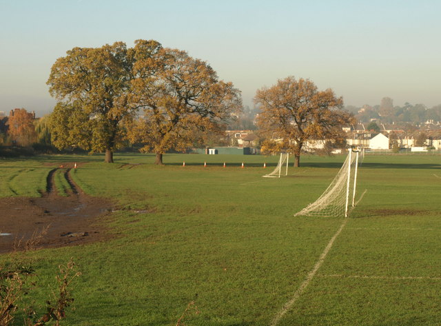
Image: © Derek Harper Taken: 16 Nov 2010
Goalposts and a rutted track on the west side of the King George V playing fields. A row of oak trees marks an old field boundary.
Images are licensed for reuse under creativecommons.org/licenses/by-sa/2.0
Image Location
Latitude
51.403935
Longitude
-0.228771