The Maypole
Introduction
The photograph on this page of The Maypole by Roger W Haworth as part of the Geograph project.
The Geograph project started in 2005 with the aim of publishing, organising and preserving representative images for every square kilometre of Great Britain, Ireland and the Isle of Man.

There are currently over 7.5m images from over 14,400 individuals and you can help contribute to the project by visiting https://www.geograph.org.uk
The Maypole
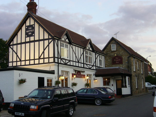
Image: © Roger W Haworth Taken: 9 Aug 2006
76 Maypole Road, Ashurst Wood. The village seems to have decided within the last thrity years that it is two words and not Ashurstwood as on older maps
Images are licensed for reuse under creativecommons.org/licenses/by-sa/2.0
Image Location
Latitude
51.112882
Longitude
0.028675