Old School, New Ferry
Introduction
The photograph on this page of Old School, New Ferry by Sue Adair as part of the Geograph project.
The Geograph project started in 2005 with the aim of publishing, organising and preserving representative images for every square kilometre of Great Britain, Ireland and the Isle of Man.

There are currently over 7.5m images from over 14,400 individuals and you can help contribute to the project by visiting https://www.geograph.org.uk
Old School, New Ferry
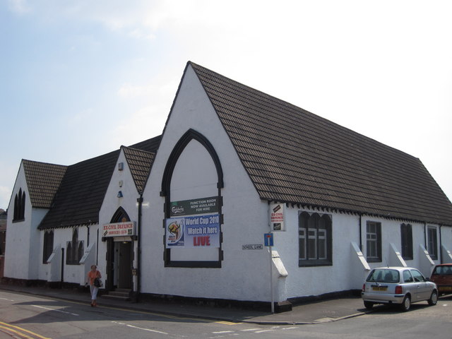
Image: © Sue Adair Taken: 17 Jun 2010
The old school in School Lane, now used as an ex civil defence services social club. For history of New Ferry see:- http://www.newferryonline.org.uk/
Images are licensed for reuse under creativecommons.org/licenses/by-sa/2.0
Image Location
Latitude
53.359917
Longitude
-3.001584