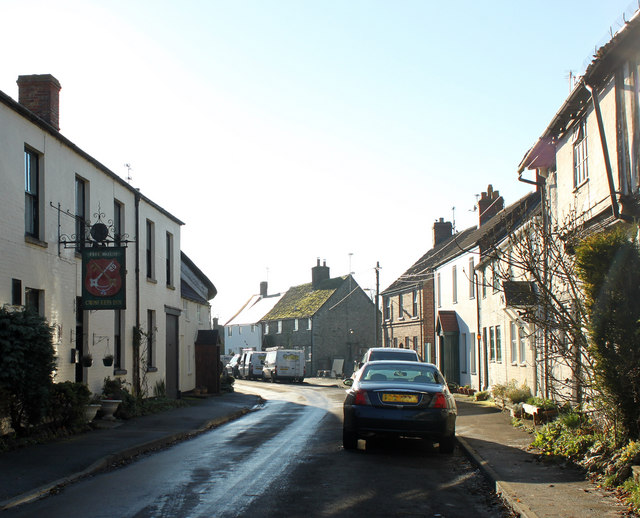
2010 : Bradenstoke village street looking west
Introduction
The photograph on this page of 2010 : Bradenstoke village street looking west by Maurice Pullin as part of the Geograph project.
The Geograph project started in 2005 with the aim of publishing, organising and preserving representative images for every square kilometre of Great Britain, Ireland and the Isle of Man.
There are currently over 7.5m images from over 14,400 individuals and you can help contribute to the project by visiting https://www.geograph.org.uk

Image: © Maurice Pullin Taken: 15 Nov 2010
"Bradenstoke is a village in Wiltshire, England situated to the north of the RAF Lyneham airbase and to the south of the River Braydon. Originally lying within Braydon Forest, the "stoke" means "settlement". The parish itself is named Bradenstoke cum Clack, the latter being an ancient earthworks. Largely consisting of a long, narrow, main street, it has 3 churches, one shop and a pub. The former Bradenstoke Priory was founded in 1142 by Walter D’Evereaux, sheriff of Wiltshire, for the Augustinians. Having fallen into disrepair after the Dissolution of the monasteries, it was dismantled in 1930 to provide parts of a renovation of St.Donat's Castle, Wales, which had been bought by William Randolph Hearst." The above was copied from: http://en.wikipedia.org/wiki/Bradenstoke

