Country lane crosses former railway bridge, Wenvoe
Introduction
The photograph on this page of Country lane crosses former railway bridge, Wenvoe by Jaggery as part of the Geograph project.
The Geograph project started in 2005 with the aim of publishing, organising and preserving representative images for every square kilometre of Great Britain, Ireland and the Isle of Man.

There are currently over 7.5m images from over 14,400 individuals and you can help contribute to the project by visiting https://www.geograph.org.uk
Country lane crosses former railway bridge, Wenvoe
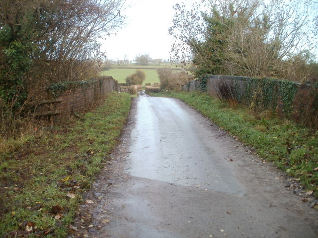
Image: © Jaggery Taken: 19 Nov 2010
About 50 metres north of the former Wenvoe railway station, http://www.geograph.org.uk/photo/2168837 a lane crosses a bridge that formerly spanned the railway tracks. The station closed on cessation of passenger services in 1962.
Images are licensed for reuse under creativecommons.org/licenses/by-sa/2.0
Image Location
Latitude
51.451928
Longitude
-3.257749