The end of the spur
Introduction
The photograph on this page of The end of the spur by Jonathan Kington as part of the Geograph project.
The Geograph project started in 2005 with the aim of publishing, organising and preserving representative images for every square kilometre of Great Britain, Ireland and the Isle of Man.

There are currently over 7.5m images from over 14,400 individuals and you can help contribute to the project by visiting https://www.geograph.org.uk
The end of the spur
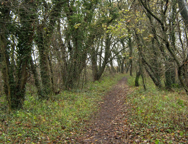
Image: © Jonathan Kington Taken: 17 Nov 2010
At one time this path was the route taken by a spur line from the former Biddulph Valley Railway to its junction with the present mainline running from Stockport to Crewe, out of sight on the left of this picture. The end of the path in the distance marks the rough point of where it was, but no signs of it remain today.
Images are licensed for reuse under creativecommons.org/licenses/by-sa/2.0
Image Location
Latitude
53.163423
Longitude
-2.183062