Whitecliff
Introduction
The photograph on this page of Whitecliff by Peter Randall-Cook as part of the Geograph project.
The Geograph project started in 2005 with the aim of publishing, organising and preserving representative images for every square kilometre of Great Britain, Ireland and the Isle of Man.

There are currently over 7.5m images from over 14,400 individuals and you can help contribute to the project by visiting https://www.geograph.org.uk
Whitecliff
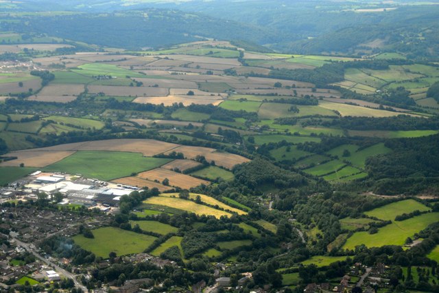
Image: © Peter Randall-Cook Taken: 3 Aug 2007
Beechams Factory on the left with Clearwell Quarry top left. River Wye at the top
Images are licensed for reuse under creativecommons.org/licenses/by-sa/2.0
Image Location
Latitude
51.786982
Longitude
-2.627258