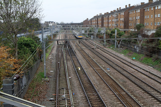
Great Eastern Mainline
Introduction
The photograph on this page of Great Eastern Mainline by Martin Addison as part of the Geograph project.
The Geograph project started in 2005 with the aim of publishing, organising and preserving representative images for every square kilometre of Great Britain, Ireland and the Isle of Man.
There are currently over 7.5m images from over 14,400 individuals and you can help contribute to the project by visiting https://www.geograph.org.uk

Image: © Martin Addison Taken: 17 Nov 2010
Looking from the bridge carrying Rabbits Road at the line as it passes the housing on Forest View Road. In the distance is the bridge carrying Station Road, behind which is Manor Park station. The line was one of the earliest overhead suburban electrifications in the UK - first being planned for 1500v DC in the 1930s. Outbreak of war in 1939 prevented the work from being completed and it was only in 1949 that the line was fully electrified to Shenfield. Subsequently the electrification was extended to Chelmsford and Southend as well as being upgraded to 6.25kV AC. Today the electrification extends to Norwich and is 25kV AC throughout.

