The Nickey Line
Introduction
The photograph on this page of The Nickey Line by Shaun Ferguson as part of the Geograph project.
The Geograph project started in 2005 with the aim of publishing, organising and preserving representative images for every square kilometre of Great Britain, Ireland and the Isle of Man.

There are currently over 7.5m images from over 14,400 individuals and you can help contribute to the project by visiting https://www.geograph.org.uk
The Nickey Line
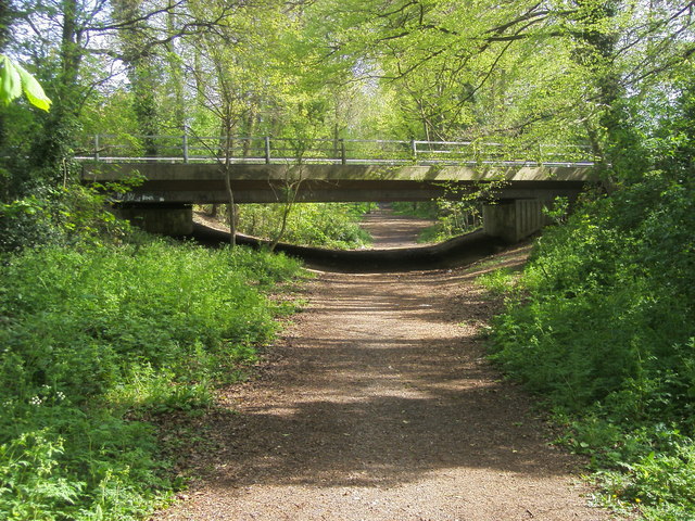
Image: © Shaun Ferguson Taken: 30 Apr 2010
The Nickey Line passing under the Solway Road bridge, originally built in 1961 as part of the expansion of Hemel Hempstead. The cutting here was deeper originally, but was partly filled in in the mid-1960s (information from "The Harpenden to Hemel Hempstead Railway" by Sue and Geoff Woodward, Oakwood Press, 1996).
Images are licensed for reuse under creativecommons.org/licenses/by-sa/2.0
Image Location
Latitude
51.764691
Longitude
-0.457278