Drumlin country (38)
Introduction
The photograph on this page of Drumlin country (38) by Albert Bridge as part of the Geograph project.
The Geograph project started in 2005 with the aim of publishing, organising and preserving representative images for every square kilometre of Great Britain, Ireland and the Isle of Man.

There are currently over 7.5m images from over 14,400 individuals and you can help contribute to the project by visiting https://www.geograph.org.uk
Drumlin country (38)
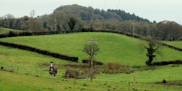
Image: © Albert Bridge Taken: 20 Nov 2010
Two drumlins on the eastern side of the Belfast Road Image near Downpatrick. The nearer of the two is grazed. The one in the distance is covered by Beatty’s Wood.
Images are licensed for reuse under creativecommons.org/licenses/by-sa/2.0
Image Location
Latitude
54.347935
Longitude
-5.732527