Public Footpath from Warrington Road to Farnworth Road
Introduction
The photograph on this page of Public Footpath from Warrington Road to Farnworth Road by andy as part of the Geograph project.
The Geograph project started in 2005 with the aim of publishing, organising and preserving representative images for every square kilometre of Great Britain, Ireland and the Isle of Man.

There are currently over 7.5m images from over 14,400 individuals and you can help contribute to the project by visiting https://www.geograph.org.uk
Public Footpath from Warrington Road to Farnworth Road
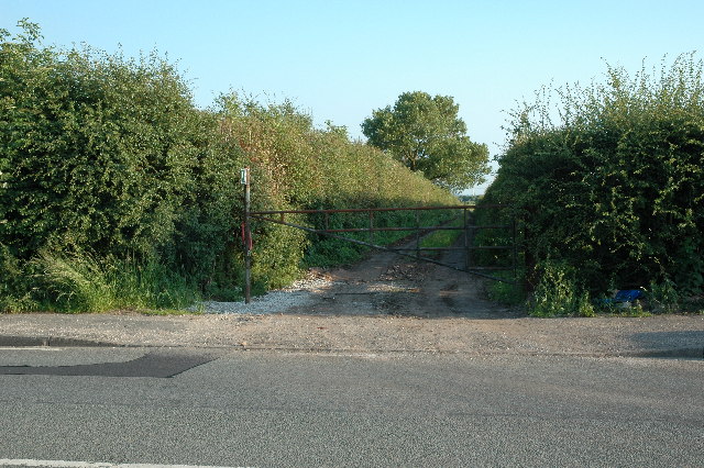
Image: © andy Taken: 26 Jun 2005
This is the north end of a long straight track from Warrington Road (A57) and Farnworth Road (A5080) and referred to as South Lane Entry on the Explorer map.
Images are licensed for reuse under creativecommons.org/licenses/by-sa/2.0
Image Location
Latitude
53.396374
Longitude
-2.691284