Castlemilk Stables
Introduction
The photograph on this page of Castlemilk Stables by Graeme Yuill as part of the Geograph project.
The Geograph project started in 2005 with the aim of publishing, organising and preserving representative images for every square kilometre of Great Britain, Ireland and the Isle of Man.

There are currently over 7.5m images from over 14,400 individuals and you can help contribute to the project by visiting https://www.geograph.org.uk
Castlemilk Stables
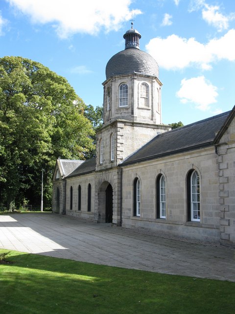
Image: © Graeme Yuill Taken: 18 Sep 2010
Built as the stables block for the now demolished Castlemilk House. The building has been recently restored by Elder and Cannon for Glasgow Building Preservation Trust.
Images are licensed for reuse under creativecommons.org/licenses/by-sa/2.0
Image Location
Latitude
55.80777
Longitude
-4.221661