Railway bridge in De-La-Hay Avenue
Introduction
The photograph on this page of Railway bridge in De-La-Hay Avenue by Rod Allday as part of the Geograph project.
The Geograph project started in 2005 with the aim of publishing, organising and preserving representative images for every square kilometre of Great Britain, Ireland and the Isle of Man.

There are currently over 7.5m images from over 14,400 individuals and you can help contribute to the project by visiting https://www.geograph.org.uk
Railway bridge in De-La-Hay Avenue
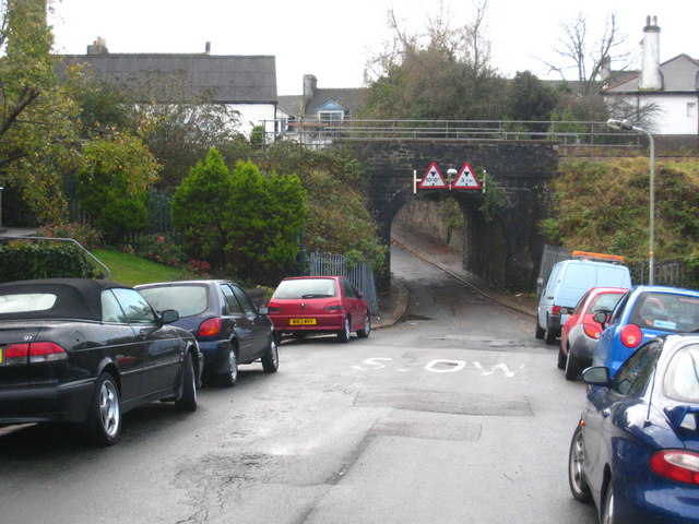
Image: © Rod Allday Taken: 17 Nov 2010
Carrying the Paddington-Penzance mainline though Plymouth's suburbs.
Images are licensed for reuse under creativecommons.org/licenses/by-sa/2.0
Image Location
Latitude
50.37816
Longitude
-4.154447