Wenvoe Community Centre
Introduction
The photograph on this page of Wenvoe Community Centre by Jaggery as part of the Geograph project.
The Geograph project started in 2005 with the aim of publishing, organising and preserving representative images for every square kilometre of Great Britain, Ireland and the Isle of Man.

There are currently over 7.5m images from over 14,400 individuals and you can help contribute to the project by visiting https://www.geograph.org.uk
Wenvoe Community Centre
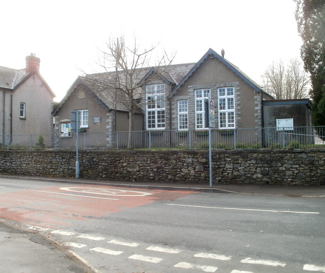
Image: © Jaggery Taken: 19 Nov 2010
Located on Old Port Road, facing the Village Hall http://www.geograph.org.uk/photo/2167690 and Station Road West. The Centre is used by a wide variety of local clubs and groups, such as line dancing, yoga, Wenvoe Ladies Choir, cub scouts, Scottish dancing, whist, and Wenvoe W.I.(Women's Institute)
Images are licensed for reuse under creativecommons.org/licenses/by-sa/2.0
Image Location
Latitude
51.447356
Longitude
-3.264818