Lane below Wrescombe
Introduction
The photograph on this page of Lane below Wrescombe by Derek Harper as part of the Geograph project.
The Geograph project started in 2005 with the aim of publishing, organising and preserving representative images for every square kilometre of Great Britain, Ireland and the Isle of Man.

There are currently over 7.5m images from over 14,400 individuals and you can help contribute to the project by visiting https://www.geograph.org.uk
Lane below Wrescombe
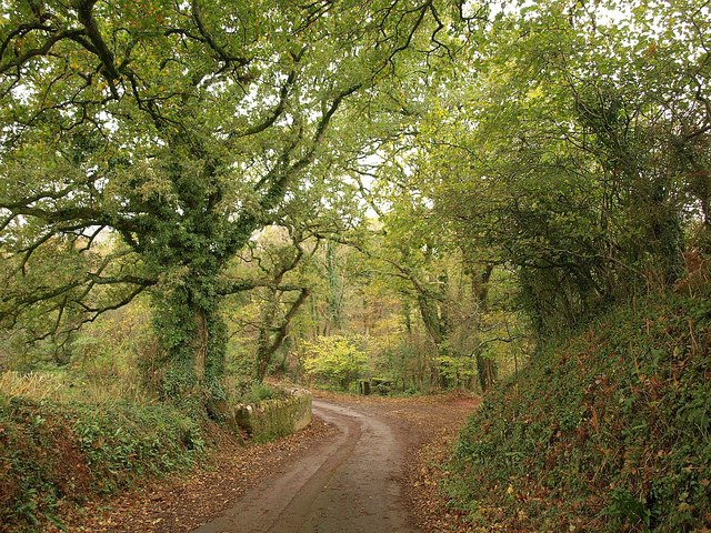
Image: © Derek Harper Taken: 13 Nov 2010
The lane between Puslinch and Newton Downs twists down to cross a small tributary of the Yealm.
Images are licensed for reuse under creativecommons.org/licenses/by-sa/2.0
Image Location
Latitude
50.330542
Longitude
-4.021334