Lane near Gorlofen
Introduction
The photograph on this page of Lane near Gorlofen by Derek Harper as part of the Geograph project.
The Geograph project started in 2005 with the aim of publishing, organising and preserving representative images for every square kilometre of Great Britain, Ireland and the Isle of Man.

There are currently over 7.5m images from over 14,400 individuals and you can help contribute to the project by visiting https://www.geograph.org.uk
Lane near Gorlofen
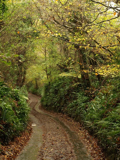
Image: © Derek Harper Taken: 13 Nov 2010
The sunken lane appears to be dropping through woodland into the valley of the Silverbridge Lake at Gorlofen, but in fact there are fields on either side.
Images are licensed for reuse under creativecommons.org/licenses/by-sa/2.0
Image Location


Leaflet Map data © OpenStreetMap
Latitude
50.357384
Longitude
-4.0191