Higher Dane in Shaw Bridge
Introduction
The photograph on this page of Higher Dane in Shaw Bridge by Jonathan Kington as part of the Geograph project.
The Geograph project started in 2005 with the aim of publishing, organising and preserving representative images for every square kilometre of Great Britain, Ireland and the Isle of Man.

There are currently over 7.5m images from over 14,400 individuals and you can help contribute to the project by visiting https://www.geograph.org.uk
Higher Dane in Shaw Bridge
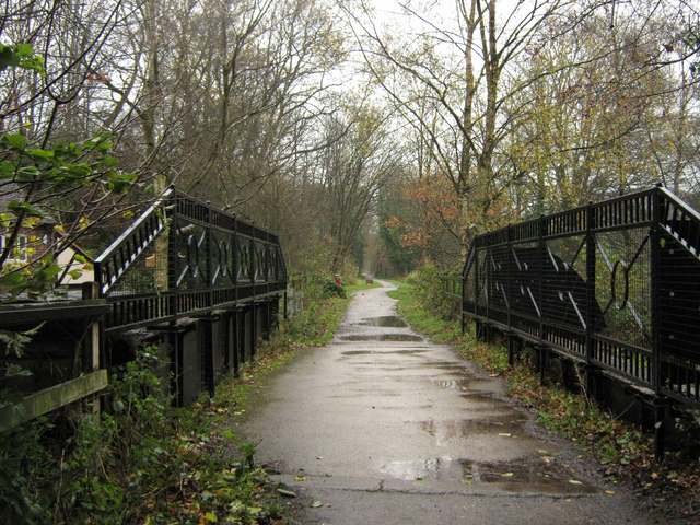
Image: © Jonathan Kington Taken: 17 Nov 2010
This bridge carries the former railway line that is now the Biddulph Valley Way over the road between Mossley and Rainow.
Images are licensed for reuse under creativecommons.org/licenses/by-sa/2.0
Image Location
Latitude
53.152038
Longitude
-2.174446