Dollymans Road
Introduction
The photograph on this page of Dollymans Road by terry joyce as part of the Geograph project.
The Geograph project started in 2005 with the aim of publishing, organising and preserving representative images for every square kilometre of Great Britain, Ireland and the Isle of Man.

There are currently over 7.5m images from over 14,400 individuals and you can help contribute to the project by visiting https://www.geograph.org.uk
Dollymans Road
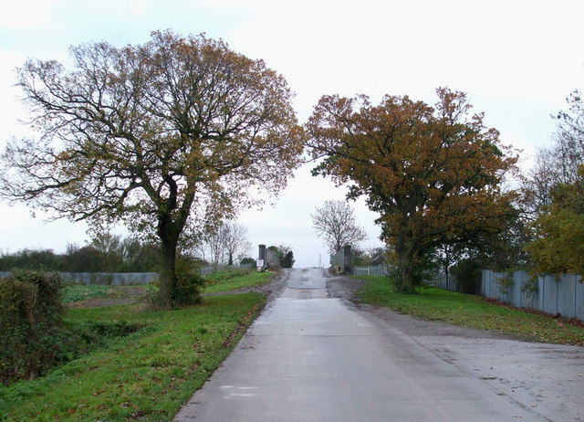
Image: © terry joyce Taken: 18 Nov 2010
This is the road that runs through Dollymans Farm from the A129 to the A127. Ahead is the bridge over the railway line leading to Image .
Images are licensed for reuse under creativecommons.org/licenses/by-sa/2.0
Image Location
Latitude
51.598495
Longitude
0.549866