Farm track, Cambuskenneth
Introduction
The photograph on this page of Farm track, Cambuskenneth by Trevor Harris as part of the Geograph project.
The Geograph project started in 2005 with the aim of publishing, organising and preserving representative images for every square kilometre of Great Britain, Ireland and the Isle of Man.

There are currently over 7.5m images from over 14,400 individuals and you can help contribute to the project by visiting https://www.geograph.org.uk
Farm track, Cambuskenneth
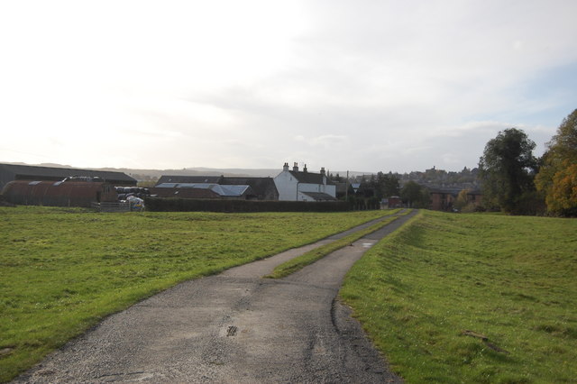
Image: © Trevor Harris Taken: 27 Oct 2010
The farm seen in the background is close to the river, south of Cambuskenneth and a short distance west of the Abbey ruins.
Images are licensed for reuse under creativecommons.org/licenses/by-sa/2.0
Image Location
Latitude
56.122611
Longitude
-3.920589