Shuttlewood Road rising towards Bolsover
Introduction
The photograph on this page of Shuttlewood Road rising towards Bolsover by Andrew Hill as part of the Geograph project.
The Geograph project started in 2005 with the aim of publishing, organising and preserving representative images for every square kilometre of Great Britain, Ireland and the Isle of Man.

There are currently over 7.5m images from over 14,400 individuals and you can help contribute to the project by visiting https://www.geograph.org.uk
Shuttlewood Road rising towards Bolsover
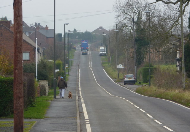
Image: © Andrew Hill Taken: 18 Nov 2010
The B6419 climbs south from Shuttlewood to Bolsover, lined with houses most of the way.
Images are licensed for reuse under creativecommons.org/licenses/by-sa/2.0
Image Location


Leaflet Map data © OpenStreetMap
Latitude
53.244819
Longitude
-1.293848