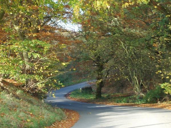
Road to Maryburgh
Introduction
The photograph on this page of Road to Maryburgh by June Hodge as part of the Geograph project.
The Geograph project started in 2005 with the aim of publishing, organising and preserving representative images for every square kilometre of Great Britain, Ireland and the Isle of Man.
There are currently over 7.5m images from over 14,400 individuals and you can help contribute to the project by visiting https://www.geograph.org.uk

Image: © June Hodge Taken: Unknown
The road leads down through this dip and then upwards into the hamlet of Maryburgh. Middleton House would be about in line with my left shoulder. For many years this was part of a shortcut we took home late at night and this stretch of road was one of the spookiest parts of the walk. Tales abounded of a man who hanged himself from the tree near the bottom of this hill .. (gulp) .. think I'll go put the light on now!

