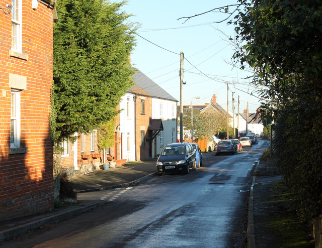
2010 : Bradenstoke village street
Introduction
The photograph on this page of 2010 : Bradenstoke village street by Maurice Pullin as part of the Geograph project.
The Geograph project started in 2005 with the aim of publishing, organising and preserving representative images for every square kilometre of Great Britain, Ireland and the Isle of Man.
There are currently over 7.5m images from over 14,400 individuals and you can help contribute to the project by visiting https://www.geograph.org.uk

Image: © Maurice Pullin Taken: 15 Nov 2010
"Bradenstoke lies in the north west of the Lyneham and Bradenstoke parish, was originally the main area of the twinned settlement. It was known as "Stoche" meaning settlement, and the area was well wooded, having lain within the boundaries of Braydon Forest. It was from the 12th century that the settlement was called Bradenstoke, and this was applied to the area surrounding Bradenstoke Priory, which was founded during that time." The above was copied from: http://www.lynehamvillage.com/info/towns/bradenstoke.html

