Cossington
Introduction
The photograph on this page of Cossington by Nigel Mykura as part of the Geograph project.
The Geograph project started in 2005 with the aim of publishing, organising and preserving representative images for every square kilometre of Great Britain, Ireland and the Isle of Man.

There are currently over 7.5m images from over 14,400 individuals and you can help contribute to the project by visiting https://www.geograph.org.uk
Cossington
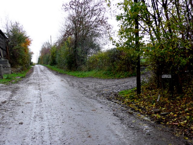
Image: © Nigel Mykura Taken: 17 Nov 2010
View south up the hill into the village from the old railway bridge.At this point it is called Bell Lane
Images are licensed for reuse under creativecommons.org/licenses/by-sa/2.0
Image Location
Latitude
51.161506
Longitude
-2.916189