Eureka Villas, Rock Ferry
Introduction
The photograph on this page of Eureka Villas, Rock Ferry by Eirian Evans as part of the Geograph project.
The Geograph project started in 2005 with the aim of publishing, organising and preserving representative images for every square kilometre of Great Britain, Ireland and the Isle of Man.

There are currently over 7.5m images from over 14,400 individuals and you can help contribute to the project by visiting https://www.geograph.org.uk
Eureka Villas, Rock Ferry
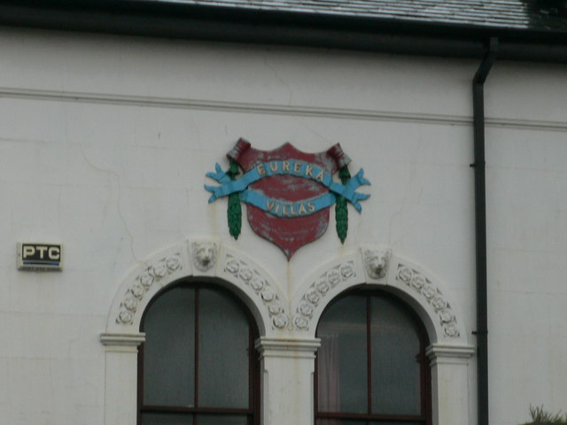
Image: © Eirian Evans Taken: 17 Nov 2010
Close-up of the crest on the houses at the junction of Old Chester Road and Well Lane.
Images are licensed for reuse under creativecommons.org/licenses/by-sa/2.0
Image Location
Latitude
53.374633
Longitude
-3.015308