Ruins of Half-hung McNaughton's Hiding Place
Introduction
The photograph on this page of Ruins of Half-hung McNaughton's Hiding Place by Kenneth Allen as part of the Geograph project.
The Geograph project started in 2005 with the aim of publishing, organising and preserving representative images for every square kilometre of Great Britain, Ireland and the Isle of Man.

There are currently over 7.5m images from over 14,400 individuals and you can help contribute to the project by visiting https://www.geograph.org.uk
Ruins of Half-hung McNaughton's Hiding Place
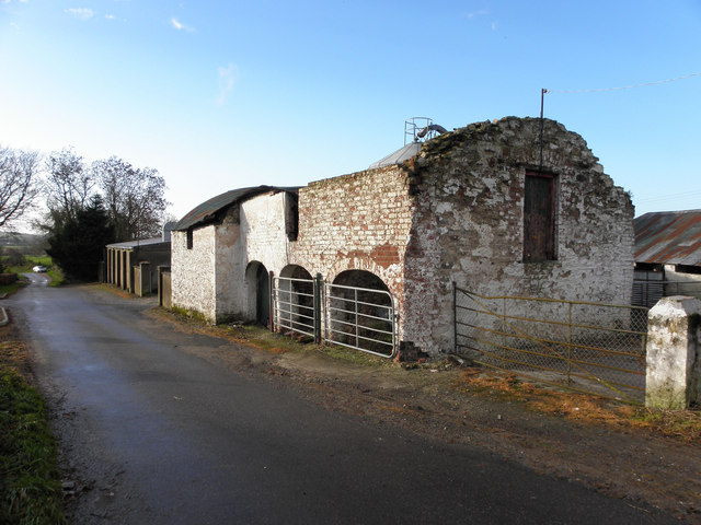
Image: © Kenneth Allen Taken: 17 Nov 2010
Pictured along Altrest Road, but severe storm have taken their toll on this old barn His body is buried at St Patricks graveyard in Strabane Image] It was in better condition when I last saw it in July, 2006 - see Image]
Images are licensed for reuse under creativecommons.org/licenses/by-sa/2.0
Image Location
Latitude
54.892856
Longitude
-7.389216