Half-hung McNaughton's Hiding Place, Sandville
Introduction
The photograph on this page of Half-hung McNaughton's Hiding Place, Sandville by Kenneth Allen as part of the Geograph project.
The Geograph project started in 2005 with the aim of publishing, organising and preserving representative images for every square kilometre of Great Britain, Ireland and the Isle of Man.

There are currently over 7.5m images from over 14,400 individuals and you can help contribute to the project by visiting https://www.geograph.org.uk
Half-hung McNaughton's Hiding Place, Sandville
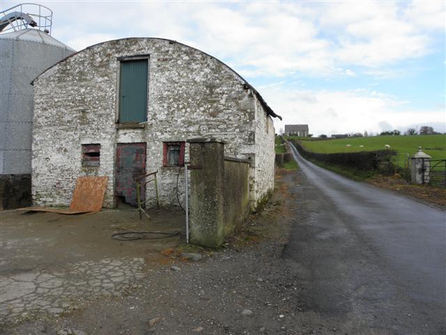
Image: © Kenneth Allen Taken: 17 Nov 2010
Pictured along Altrest Road; in the distance on top of the hill is Donagheady Presbyterian Church The barn was in better condition several years ago Image] In the 1760s a tragic tale unfolded - see Image]
Images are licensed for reuse under creativecommons.org/licenses/by-sa/2.0
Image Location
Latitude
54.893303
Longitude
-7.388742