Semi-derelict Farm Buildings
Introduction
The photograph on this page of Semi-derelict Farm Buildings by Tony Atkin as part of the Geograph project.
The Geograph project started in 2005 with the aim of publishing, organising and preserving representative images for every square kilometre of Great Britain, Ireland and the Isle of Man.

There are currently over 7.5m images from over 14,400 individuals and you can help contribute to the project by visiting https://www.geograph.org.uk
Semi-derelict Farm Buildings
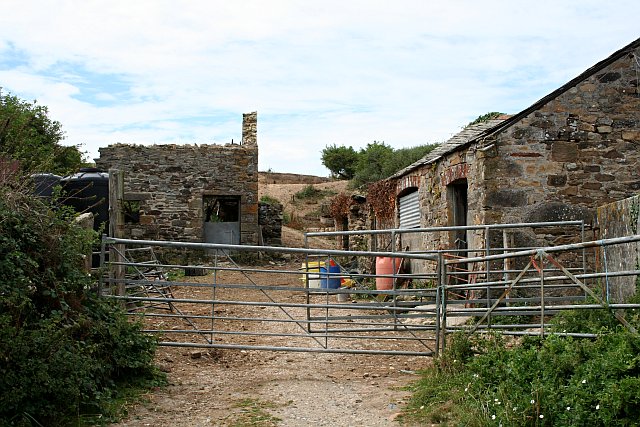
Image: © Tony Atkin Taken: 4 Aug 2006
Behind these buildings is a large area of disturbed ground associated with old mine workings. It is possible that these buildings were originally built to serve the mine workings although I have no evidence of this.
Images are licensed for reuse under creativecommons.org/licenses/by-sa/2.0
Image Location
Latitude
50.362832
Longitude
-5.122758