A watery new housing development
Introduction
The photograph on this page of A watery new housing development by Robin Webster as part of the Geograph project.
The Geograph project started in 2005 with the aim of publishing, organising and preserving representative images for every square kilometre of Great Britain, Ireland and the Isle of Man.

There are currently over 7.5m images from over 14,400 individuals and you can help contribute to the project by visiting https://www.geograph.org.uk
A watery new housing development
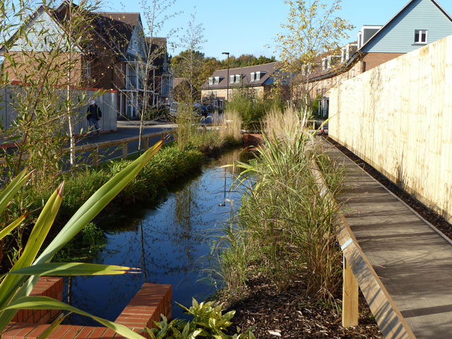
Image: © Robin Webster Taken: 16 Nov 2010
All along this new dead-end road runs a man-made stream. Water is the theme of this large development of the former BIS (British Industrial Sand) site. Although externally complete, many of the houses on this road were being fitted out internally.
Images are licensed for reuse under creativecommons.org/licenses/by-sa/2.0
Image Location
Latitude
51.252922
Longitude
-0.151465