Looking along Hady Hill and Hollis Lane into Chesterfield
Introduction
The photograph on this page of Looking along Hady Hill and Hollis Lane into Chesterfield by Andrew Hill as part of the Geograph project.
The Geograph project started in 2005 with the aim of publishing, organising and preserving representative images for every square kilometre of Great Britain, Ireland and the Isle of Man.

There are currently over 7.5m images from over 14,400 individuals and you can help contribute to the project by visiting https://www.geograph.org.uk
Looking along Hady Hill and Hollis Lane into Chesterfield
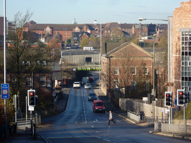
Image: © Andrew Hill Taken: 16 Nov 2010
View into town from the foot of the hill which brings the A632 west into Chesterfield from Bolsover.
Images are licensed for reuse under creativecommons.org/licenses/by-sa/2.0
Image Location
Latitude
53.233812
Longitude
-1.419726