St Peter's Churchyard, Thundersley, looking north
Introduction
The photograph on this page of St Peter's Churchyard, Thundersley, looking north by John Rostron as part of the Geograph project.
The Geograph project started in 2005 with the aim of publishing, organising and preserving representative images for every square kilometre of Great Britain, Ireland and the Isle of Man.

There are currently over 7.5m images from over 14,400 individuals and you can help contribute to the project by visiting https://www.geograph.org.uk
St Peter's Churchyard, Thundersley, looking north
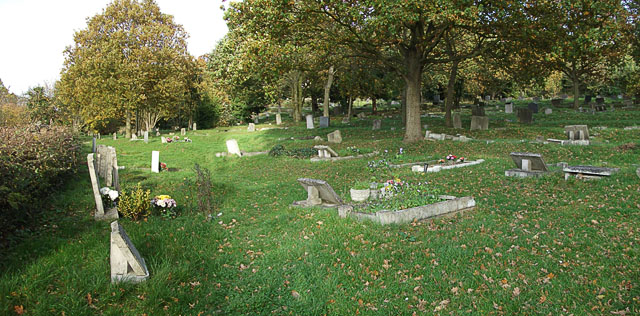
Image: © John Rostron Taken: 4 Nov 2010
This is a similar view to that of Image, taken in Summer 1987, before the hurricane. Many of the conifers visible then came down, and since then other trees have grown up. Image shows an aerial view including the churchyard, taken in the spring of 1987.
Images are licensed for reuse under creativecommons.org/licenses/by-sa/2.0
Image Location
Latitude
51.567913
Longitude
0.570666