View from the A20 Ashford Road
Introduction
The photograph on this page of View from the A20 Ashford Road by David Anstiss as part of the Geograph project.
The Geograph project started in 2005 with the aim of publishing, organising and preserving representative images for every square kilometre of Great Britain, Ireland and the Isle of Man.

There are currently over 7.5m images from over 14,400 individuals and you can help contribute to the project by visiting https://www.geograph.org.uk
View from the A20 Ashford Road
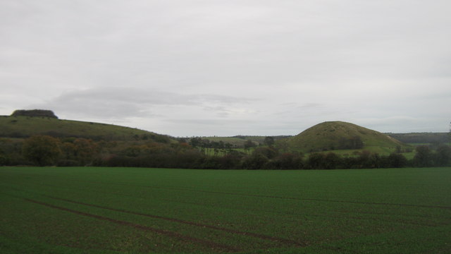
Image: © David Anstiss Taken: 13 Nov 2010
Looking across a field near Stone Farm towards Tolsford Hill on the left and Summerhouse Hill on the right. Brockman's Bushes is a circular clump of trees on Tolsford Hill.
Images are licensed for reuse under creativecommons.org/licenses/by-sa/2.0
Image Location
Latitude
51.094028
Longitude
1.080483