Farmland near Corley
Introduction
The photograph on this page of Farmland near Corley by E Gammie as part of the Geograph project.
The Geograph project started in 2005 with the aim of publishing, organising and preserving representative images for every square kilometre of Great Britain, Ireland and the Isle of Man.

There are currently over 7.5m images from over 14,400 individuals and you can help contribute to the project by visiting https://www.geograph.org.uk
Farmland near Corley
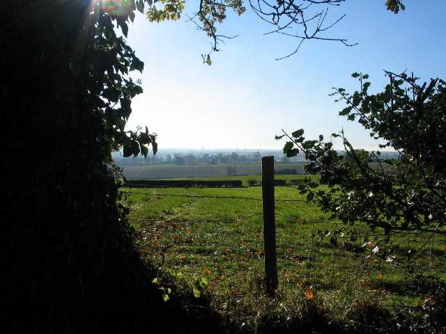
Image: © E Gammie Taken: 15 Nov 2010
The tower visible on the horizon is the former Massey Ferguson office block on Banner Lane, Coventry (SP2779).
Images are licensed for reuse under creativecommons.org/licenses/by-sa/2.0
Image Location
Latitude
52.460812
Longitude
-1.569021